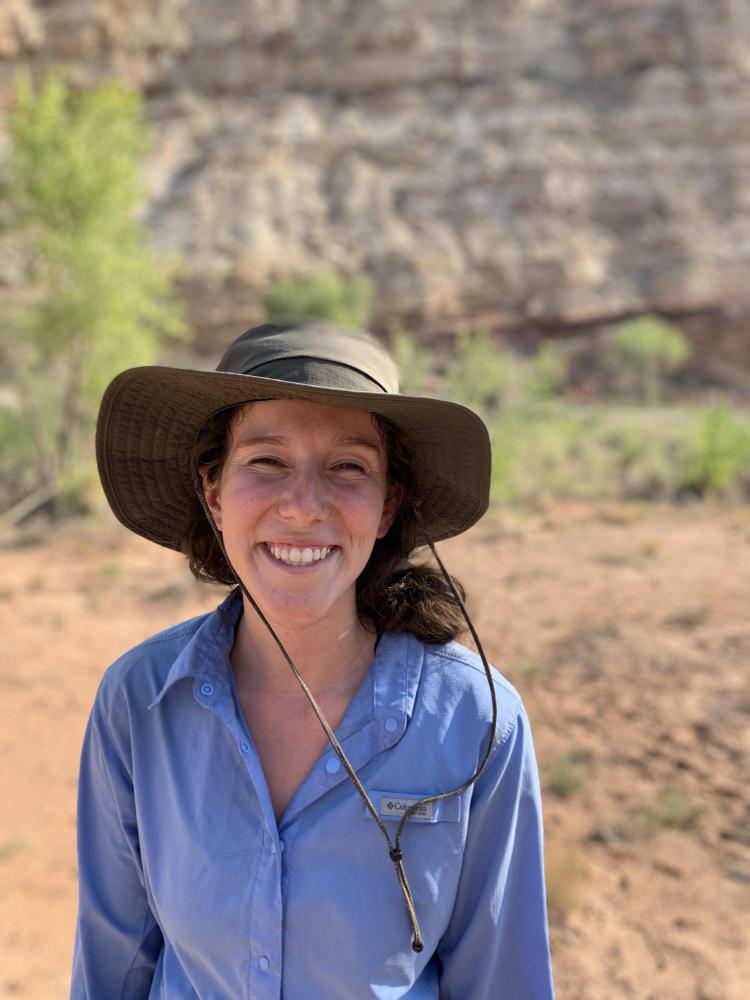
Lucy Citrine
We conducted topographic surveys, vegetation surveys, and calculated discharge at transects along the river corridor to evaluate how straightening the river impacted the riparian vegetation and river morphology. In the fall, I created 1D steady flow models using ArcGIS and HEC-RAS to analyze the topographic data collected from the summer. The flood inundation models were used to assess how channel morphology affects lateral hydraulic connectivity in the Fremont River corridor.
I have always had a deep interest in hydrology (specifically anthropogenic impacts) and topographic mapping. Through working with the Fluvial Geomorphology Research Group, I explored and strengthened these interests. In addition to learning new technical skills, I learned that I have a passion for surveying. Developing these skills while still an undergraduate student prepared me for the workforce and helped when looking at various career paths.
I currently work at Harris Kocher Smith in the subsurface utility engineering department where I create maps of underground utilities using AutoCAD Civil 3D, where I am able to apply the cartography and surveying skills that I acquired from my time at the geography department.

The Fremont River the day after a flash flood.
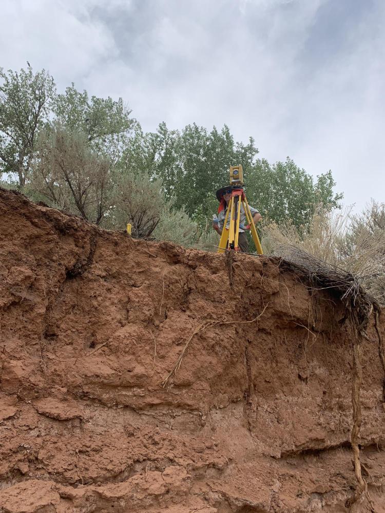
Surveying with the total station.