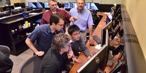
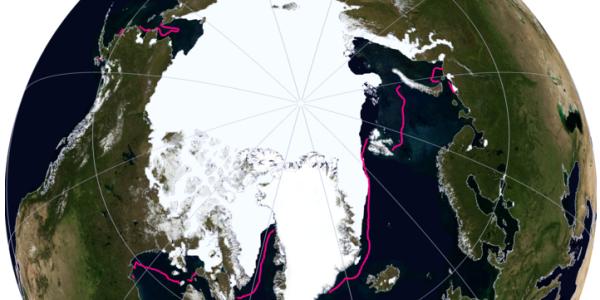
Interested in data and the Earth’s surfaces? Our interdisciplinary undergraduate certificate allows students to learn how to display data points of the positions of Earth with spatial data analysis and computation. Computational geospatial skills are in high demand on campus and in local, regional and national job markets such as government employment, industry or consulting careers.
-
Gain interdisciplinary training in spatial data analysis and computation
-
Improve your analytical problem-solving skills
-
Learn from experts in the Departments of Geography and Computer Science