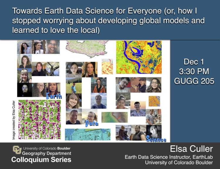
Elsa Culler
Earth Data Science Instructor
Earthlab and ESIIL
CIRES
University of Colorado Boulder
Abstract
In situ Earth Data are unevenly distributed around the world. How can we then develop tools — resource planning, hazard warnings systems, climate adaptation plans — that benefit people around the world? We’ll start off with an attempt to explore the impacts of wildfire on landslide susceptibility worldwide using the NASA Global Landslide Catalog, a news-article-derived landslide database. In the end, though the data covered a much more diverse set of locations and climates than most landslide catalogs, it was extremely difficult to separate the effects of location from data precision (which was much lower in areas with limited English-language news coverage). We will continue with a different approach: bringing more places into Earth Data Science by bringing more people into Earth Data science. Empowering local communities to complete their own analysis requires developing open-source tools and inclusive curriculum that trains students to access data APIs, make use of next-generation tools like ChatGPT to leapfrog early stages of learning, and present and publish their analysis in culturally-aware, multimodal websites. In the process, we will highlight several examples of moves towards more inclusive Earth Data Science curricula, and how that resulted in meaningful student projects, portfolios, and conversations.
Bio
Elsa Culler is an Earth Data Science educator at Earthlab and the Environmental Data Science Innovation and Inclusion Lab (ESIIL) at CU Boulder. She loves introducing students from age 5 to mid-career scientists to ways to expand their creative and scientific capabilities through coding and design. Currently, she teaches and develops curricula for the Earth Analytics — Foundations professional graduate certificate program at CU, the ESIIL STARS internship program for students from Tribal Colleges and University, and runs training workshops for participants in ESIIL summits and hackathons. She also organizes and mentors student capstone projects — some related to her research on post-wildfire landslides, including rapid identifications of landslides using SAR data. Other student projects have focused on the effects of oil spills in the North Sea, floodplain connectivity in the St. Vrain watershed, and the movement of objects on the seafloor.