
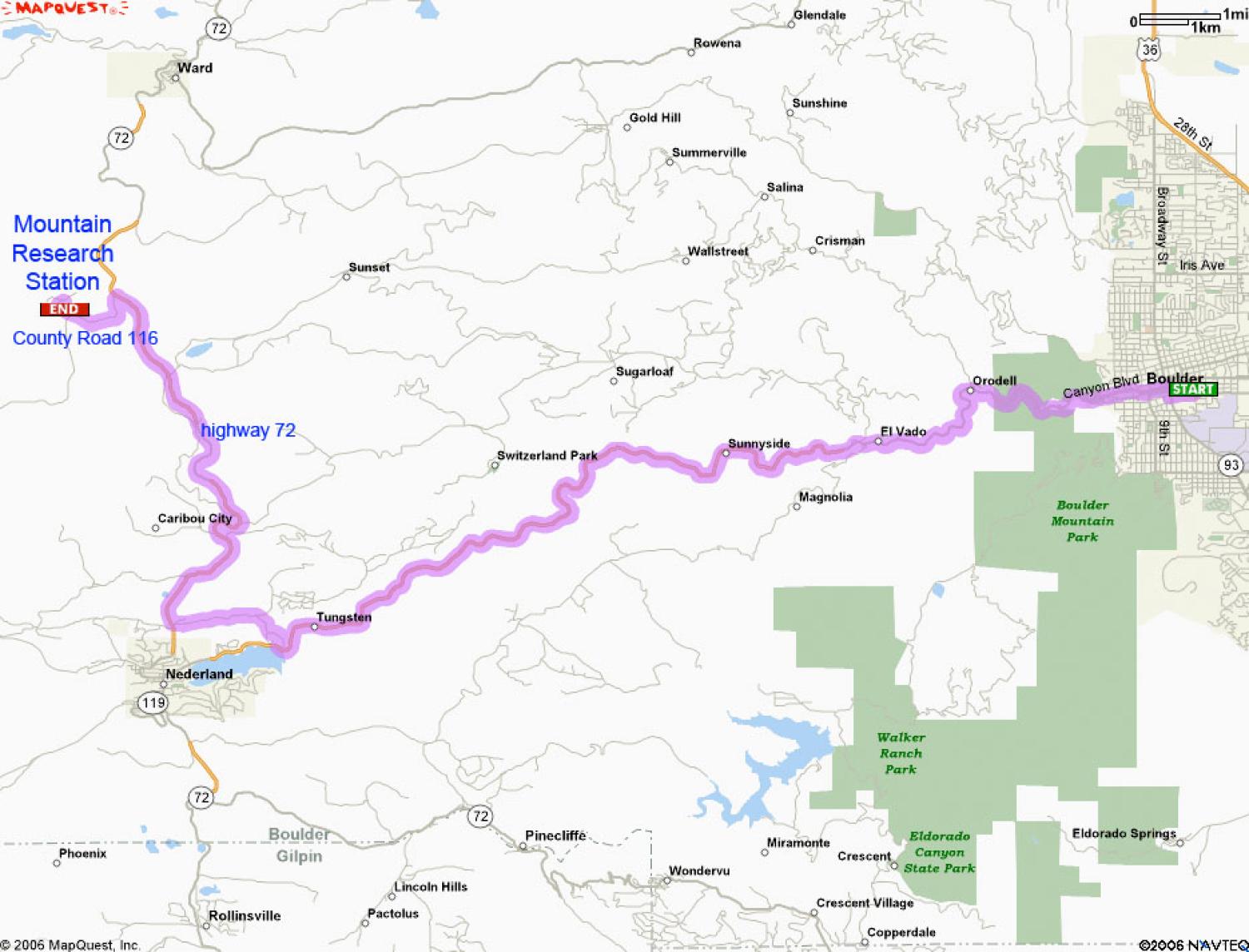
Location Map
The Mountain Research Station is located 26 miles west of Boulder, Colorado, off the Peak to Peak Highway (highway 72), between Nederland and Ward.
GPS: 40.029308, -105.531041

Driving directions: From Boulder: go west on Route 119 (Canyon Blvd) to Nederland, approximately 18 miles. At Nederland, follow Route 72 west (heading north) toward Ward for approximately 7 miles. Turn left at the green University of Colorado Mountain Research Station sign.
Site Map
